Thursday, March 31, 2016

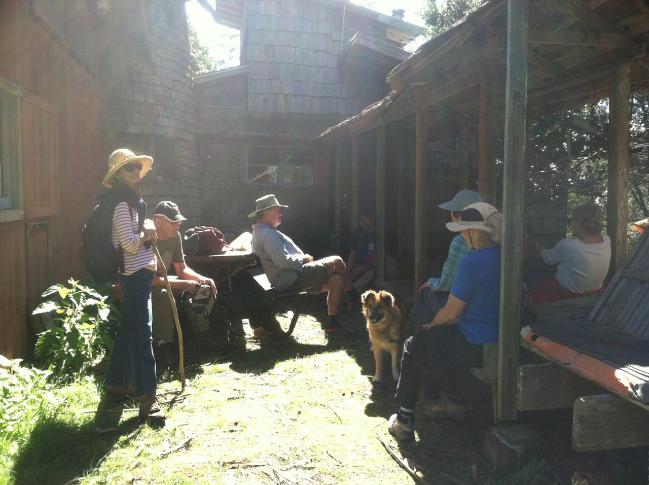
HOT SPOT TWOFISH LOOP (new)

All photos by Mary Sue Ittner

Carpool at 9:45 at pullout for Gualala business directory north of bridge and at 10:00 at end of Verdant View near Twofish Baking Company. Hang tags needed. We will walk the roads down to the Hot Spot. Weather/mud permitting we will walk the earthquake trail and Hot Spot Loop. If it is too muddy we will just stick to the road down to the Hot Spot and back up. We will emerge from the Hot Spot via Deep Woods to East Ridge then connect to the Ridge Trail at post 101 turning back at post 103 and taking Sorcerer Wood to Timber Ridge and depending on timing return to Twofish via Timber Ridge Rd or go around the Airport and return via Sea Ridge Road. Optional lunch at the end of the hike at Twofish. For those wishing to eat there be sure to order in advance by phone: 785-2443.
Leader: Theresa Yuen

Thursday, March 24, 2016

KRUSE RANCH ROAD TO PLANTATION

Photo credit: Laura Bridge
Photo credit: Steve Coffey-Smith
Photo credit: Laura Bridge
Photo credit: Steve Coffey-Smith
Carpool at 9:30 at pullout for the Gualala business directory north of bridge, or at the Sea Ranch Lodge at 9:45. Shortly after entering Salt Point State Park, drivers from the north should prepare to turn left on Kruse Ranch Road and drive to the official parking area for Kruse Reserve. There are no fees or passes required and primitive toilets are available. Hike will begin from the Kruse parking area at 10:00. We will hike up the gravel road all the way to Plantation. The ascent is gradual, but the gravel large and often sharp, so sturdy shoes are recommended. In the late nineteenth century, Plantation was an important destination for travelers from San Francisco on their way to Gualala. It had the only hotel available. The views are spectacular. We will walk along several gushing creeks, and have views into deep forested canyons. This hike is a bit longer than our regular hikes, about five miles, but the rewards are great. Lunch at the end in the area adjoining the parking.
Leader: Marian and Ken Brown

Thursday, March 17, 2016

CRISPIN LANE


Meet at 9:20 at pullout for Gualala business directory and at 9:30 at Anchor Bay (West side of Hwy 1) to carpool. We will drive to Crispin Lane in Manchester, parking at the Grange and walk to the end of this county road. Hike starts around 10:00 a.m. We will pass green fields and have lovely views of the ocean on our way back. This road starts out relatively flat and then goes slowly up so we'll coast on the return trip. Depending on the weather we will either go back to the cars or when we reach the lane to Francesca Tyrnauer's, we will turn left. The walk to her house is an interesting one. Before lunch on her deck we can walk to "The Glen." Afterwards we will eat our lunches on her deck and then return to our cars.
Leaders: Mary Sue Ittner and Mary Heibel

Thursday, March 10, 2016

DMC TO GUALALA POINT PARK


RAIN CANCELED....Two intrepid  hikers and one dog braved an alternative hike in the rain. It was wet and wonderful!

Here's the original canceled hike: Carpool at 9:45 at Gualala Business Sign pullout just north of bridge.  Start at 10:00 at Del Mar Center on TSR. Hang tags needed for non Sea Ranchers. Hike south on Leeward, turning right on Sea Drift and accessing the Blufftop Trail from Tidepool. Walk north to Gualala Point Park. Depending on the trails, return via the bluff or access the Del Mar Meadow Trail to Leeward and the Del Mar Center for lunch.
Leader:  Linda Kennedy

Thursday, March 3, 2016

POINT ARENA PUBLIC LANDS LOOP


photo by Gary Levenson-Palmer

Meet at 9:20 at pullout for Gualala business directory and at 9:30 at Anchor Bay (west side of Hwy 1) to carpool and start at Point Arena City Hall at 10:00. Walk north until you reach a road that will lead you to the bluff and spectacular ocean views. Follow the bluff north for a while to catch the spectacular middle section with views of the islands, ocean, and the Lighthouse before turning around and walking south along the bluff towards Arena Cove. This is mostly coastal grassland so there isn't much elevation change, but the ground is uneven and there are gopher holes so good hiking shoes are helpful.  A suitable lunch spot will be found with a good view before returning to the cars.
Leaders: Lynn & John Walton

Thursday, February 25, 2016

CORMORANT, BREAKER MEADOW, OHLSON BEACH, SHELL BEACH LOOP & POTLUCK

All photos by Mary Sue Ittner
Meet at 9:45 at pullout for Gualala business directory north of bridge and at 10:00 at Steve and Bonnie Coffeysmith's house, corner of Bluff Reach and Cormorant Close. Drop off food for a potluck. Walk to marker 30A and follow the hedgerow to marker 30D. Turn right and follow the trail to 26D and continue on Breaker Meadow Trail to 25D. Take the bike trail from 25D to marker 21, passing by Knipp-Stengel Barn. Turn right to Ohlson Beach, then return to 21, turn left and walk along the bluff to marker 24, overlooking Stengel Beach. Follow the bluff trail from 24, 24A, 25 to marker 31. Check out the cormorant nesting area at the point, then continue along the bluff to Shell Beach and loop back via 33, 33A, and Cormorant Reach to complete the loop. Bonnie promises to make soup and hikers can furnish other food for a potluck after the hike.
Leader: Steve Coffeysmith

Thursday, February 18, 2016

KING RIDGE LOOP


Meet at 9:15 at pullout for Gualala business directory north of bridge to carpool and at The Sea Ranch Lodge parking lot at 9:30. From Skagg's Spring Road turn on Tin Barn Road and drive to King Ridge Road and park. Hike King Ridge two miles (up) and return. This stretch is very beautiful in winter with mist, oak trees, and nice views. There is plenty of up and down on this hike. We will eat at an old cemetery.
Leader: Harmony
Mileage: 4.5