Thursday, February 28, 2019

CURLEY LANE


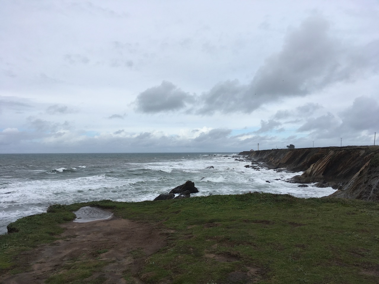
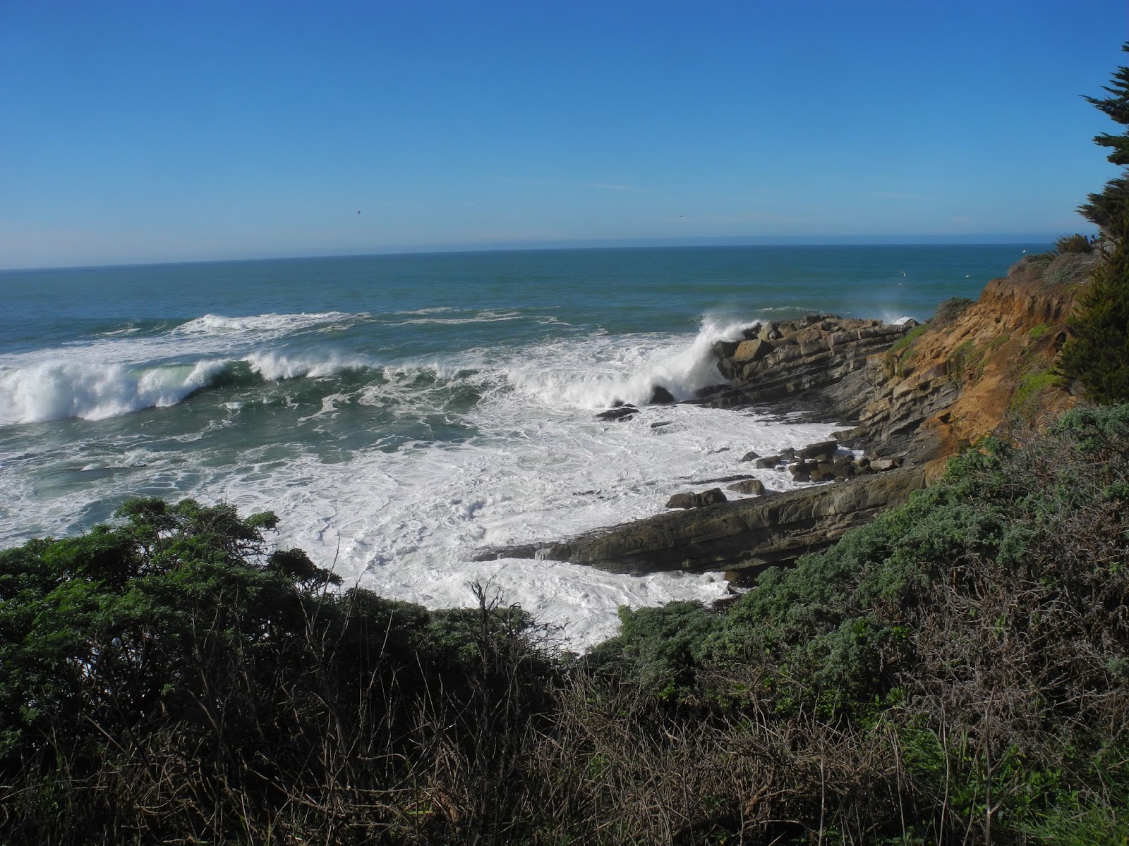
Meet at 10:05 at pullout for Gualala business directory and at Anchor Bay (west side of Hwy 1) at 10:15. The hike will start at 10:30 at Highway 1 by Curley Lane. There is only room for about 3 cars on Highway 1 by Curley Lane so if we have more we will need to drop off hikers and leave cars at Moat Creek. Curley Lane is a dirt road that passes through pleasant scenery (green meadows, ponds, cows) making you forget where you started until you see the lovely views of the ocean on the return. This is a short hike, sometimes windy, mostly level but some up and down. If weather permits you can bring your lunch and eat at the picnic tables at Pelican Bluffs after the hike.
Leaders: John and Lynn Walton (Ginger was the sub)

Mileage: 3.1
photos contributed by Liberty Laura, Mary Sue and Harmony

Thursday, February 21, 2019

OHLSON RANCH LOOP SOUTH


Carpool at 9:45 at pullout for Gualala business directory just north of bridge, and/or meet at the Ohlson Ranch Center parking lot at 10:00.  Hang tags needed for non-Sea Ranchers. Walk south on the trail starting between the building and the highway, crossing White Surf Road and Headlands Reach. At the next hedgerow continue south on the bike trail to Navigators Reach. Take a right on the road and then take the access to the bluff trail. Walk north to return to the Ohlson Ranch where we will have lunch.
Leader:Linda Kennedy

Mileage: 3.7
photos contributed by Liberty Laura, Mary Sue and Harmony

Thursday, February 14, 2019

CRISPIN LANE WITH POTLUCK (RAIN CHANGE to Rollerville to Lighthouse)


Meet at 9:20 at pullout for Gualala business directory and at 9:30 at Anchor Bay (West side of Hwy 1) to carpool. We will drive to Crispin Lane in Manchester, parking at the Manchester Community Center/Garcia Guild (formerly the Grange) and walk to the end of this county road. Hike starts around 10:00 a.m. We will pass green fields and have lovely views of the ocean on our way back. This road starts out relatively flat and then goes slowly up so we'll coast on the return trip. Afterwards we will have a potluck soup/salad/bread lunch at the Manchester Community Center. The Crock-Pots can be going while we hike. NOTE: There are often loose dogs on Crispin Lane so you may not want to bring your dog.
Leaders: Susan and Gary Levenson-Palmer

RAIN UPATE: The Garcia River flooded so those of us to the south parked at Rollerville (aka Lighthouse Pointe) and walked the road towards the lighthouse turning south and walking the bluff until the first waterfalll and then continued on towards the lighthouse and then back via the road. We lunched at April and Ron's house.
Mileage: 4.0

Thursday, February 7, 2019

TIN BARN ROAD HIKE FROM KING RIDGE ROAD


Meet at 9:15 at pullout for Gualala business directory north of bridge to carpool and at the Stengel Beach Coastal Access parking area at 9:25. From Skagg’s Spring Road turn on Tin Barn Road and park at the corner of Tin Barn and Kings Ridge Road. Start at 10:00 and walk to Odiyon entrance and back, lunching at the end at the cemetery on Tin Barn Road. This is a road hike, but with lovely green vistas in the winter and glimpses of the Buddhist Temple.
Leader: Harmony Susalla

Mileage: 4

Thursday, January 31, 2019

SKAGGS SPRINGS WEST TWO FISH ROAD HIKE


Carpool at 9:30AM at Gualala Business Sign or at 9:40 at the Stengel Beach public access parking area. Drive to Stewarts Point 2Fish and park cars.  Hike will start from 2Fish at approx. 9:55.   We will walk Skaggs Springs Road inland from 2Fish for 2ish miles and then retrace our steps. There is some elevation change but this is a road hike which is mainly through forested paved road which follows a lovely stream and is full of ferns and trees.  It’s the perfect road hike for the rain. We will reward ourselves at the end with lunch at the Two Fish Bakery at Stewarts Point. If you want to buy a sandwich at the store, please call ahead with your order (707-785-2011) or you can bring your lunch.
Leader: Harmony 
Mileage: 4.2
photos contributed by Mary Sue and Bob R.

Thursday, January 24, 2019

GUALALA POINT PARK #5


Meet at the Hidden Parking Lot at 10:00 (on the west side entrance, just left after pulling past fee post.) Or park across the street and cross Highway One if you do not have a pass. Walk through the Serge Poles and then cross the road to the bench overlooking the Gualala River. Take the trail from there that leads to the Visitor Center and from there the grass trail to the Beach. Walk as far as you can on the beach, turning around and retracing your steps and then hike south past the restrooms and along the bluff doing the loop for views of Whale Watch Point and then walking south until you reach the trail that goes south to Walk On Beach. Instead take the trail that takes you back towards the Visitor's Center where we will eat our lunches.
Leaders: April and Ron Dammann

Mileage: 3.2
photos contributed by: Bob R, Mary Sue and Harmony

Thursday, January 17, 2019

OHLSON RANCH LOOP SOUTH - January 17, 2019

Carpool at 9:45 at pullout for Gualala business directory just north of bridge, and/or meet at the Ohlson Ranch Center parking lot at 10:00.  Hang tags needed for non-Sea Ranchers. Walk south on trail starting between building and highway crossing White Surf Road and Headlands Reach. At next hedgerow continue south on the bike trail to Navigators Reach. Take a right on the road and then take the access to the bluff trail. Walk north to return to the Ohlson Ranch where we will have lunch.
Leader: Adrian Adams, 805-215-8665

NOTE: This hike was amended due to rain.