Meet
at 9:35 at pullout for Gualala business directory north of bridge and
at 9:50 at the end of Verdant View near Ranch Cafe. We can park along
the cul-de-sac by the building supply. Sea Ranch members please bring
along extra hang tags for non Sea Ranchers. Carpool to the Hot Spot and
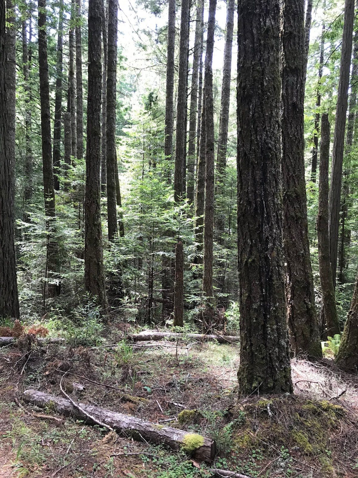
start from there at 10:00. Walk up the Hot Spot Loop Trail to River
Beach Road to Deep Woods to East Ridge Rd catching the Ridge Trail from
101 to 102, exiting at Sorcerer Wood and picking up the Spring Meadow
Trail at 314 to 316 and then circle the airport (Sea Ridge Rd, trail to
Timber Ridge Rd.) Walk down River Beach Road entering the San Andreas
Fault Interpretive Trail at post 304 and following it to post 305.
Continue on River Beach Road, catching the old road (now closed) to
return to the Hot Spot for lunch. Lunches can be left in the car as
we'll eat at the end of the hike. Walking sticks advised for this hike.
Leader: Adrian Adams
Mileage: 4.5
photos contributed by Mary Sue & Bob R
Meet
at 9:45 at pullout for Gualala business directory and at 9:55 at
Stengel Beach Coastal Access parking area to carpool and start at Stump
Beach at the north end of Salt Point at approx. 10:30. We will park at
Stump Beach and follow the trail down to the beach, crossing the stream
and heading up the other side to the southern bluff tops. We will
meander along the bluffs taking in the views and wildlife along the way.
We will walk for an hour and then head back the way we came stopping at
"Glen's Spectacular Spot" for lunch and then walk back to our cars. The
bluff part of this hike is relatively flat but the trail down and up
from the beach is steep and walking sticks are recommended. Dogs are not
allowed on the Salt Point trails.
Leaders: April and Ron Dammann
photos contributed by Leader Laura and Joyce
Meet
at the Hidden Parking Lot at 10:00 (on westside entrance just left
after pulling past fee post.) Or park across the street and cross Hwy 1
if you do not have a pass. Hike to the bluff, go north, and then back
to the Visitors Center, walking occasionally on the road, but mostly on
trails. After a brief stop on the benches to look at the view of the
river, we will take the trail down to the river and under the highway to
the campground. From there we will walk through the forest and down to
the Gualala River for lunch. After lunch we will walk back to the cars
via the road to the campground.
Leaders: John & Lynn Walton
photos contributed by Mary Sue and Bob R
Carpool
at 9:45 at pullout for Gualala business directory north of bridge or
meet at 10:00 at Ohlson Rec Center (just south of the white barn). Hang
tags needed. Cross the highway to post 254A and take the Hugal
RavineTrail* to Seabird Road. Pick up the trails again at the end of
Schooner Dr. (post 109) and follow the Sag Ponds Trail to Ridge Trail
via post 104, then right at post 103 to Sorcerer Wood at post 102. Pick
up the trails again at post 314. Turn left at post 240 and take Long
Meadow Trail down to Highway 1. Cross Highway 1 and take the bike and
foot trails to Ohlson Rec Center. NOTE: If weather or mud is a problem
the leader may reroute us onto more roads and fewer trails. Lunch at
Ohlson Rec Center. *Hugal Ravine is steep. Please be prepared for
elevation change during this hike.
Leader: Linda Kennedy
photos contributed by Liberty Laura
Meet
at 10:20 at pullout for Gualala business directory and at meet at 10:30
at Anchor Bay (West side of Hwy 1) to carpool and park in front of the
Lighthouse north of Point Arena. The walk begins at 10:50 by following
the bluffs to the north/east and following the Garcia River upstream
(via the bluffs). We will lunch on the bluffs overlooking the Garcia
River. We will return via the pasture and through the gate and back on
the road to our cars. The views and wildflowers should be lovely (this
hike can be windy). Note the ground may be uneven due to cow
walking/grazing so sticks are recommended.
Leader: Mary Heibel
Mileage: 3.9
photos contributed by: Bob R, and Mary Sue


Meet
at 9:20 at pullout for Gualala business directory and at Anchor Bay
(west side of Hwy 1) at 9:30 to carpool to Point Arena. The hike starts
at Point Arena at 10:00 at Jeff and Lena's house (355 School Street).
Coming from the north, turn right at first driveway after the rainbow
signs. Coming from the south, slow down at 30 mph sign, and then turn
left at the brightly painted pyramid. There is an Earth flag at their
drive---335 School Street. We will go on a trail through Jeff &
Lena’s land down to Port Road. There is some steep, uneven ground and a
walking stick would be advisable. We will go up Bluff Top Road and walk
to the end, overlooking the cove...a new point of view. From there we
will continue along the bluff with some spectacular views. This is all
private property, but we have gotten special permission to roam the
land. After that we will walk back down Bluff Top, up the hill to Jeff
and Lena's and have lunch in their yard. Bring apples if you want to
feed the two horses. This is about a 3.6 mile walk. It is not a long
walk, but gawking at the beautiful views may slow us down.
Leaders: Jeff Gyving & Lena Bullamore,
Mileage: 3.3
photos contributed by: Bob R, Gary B, Mary Sue and Harmony