Thursday, May 5, 2016

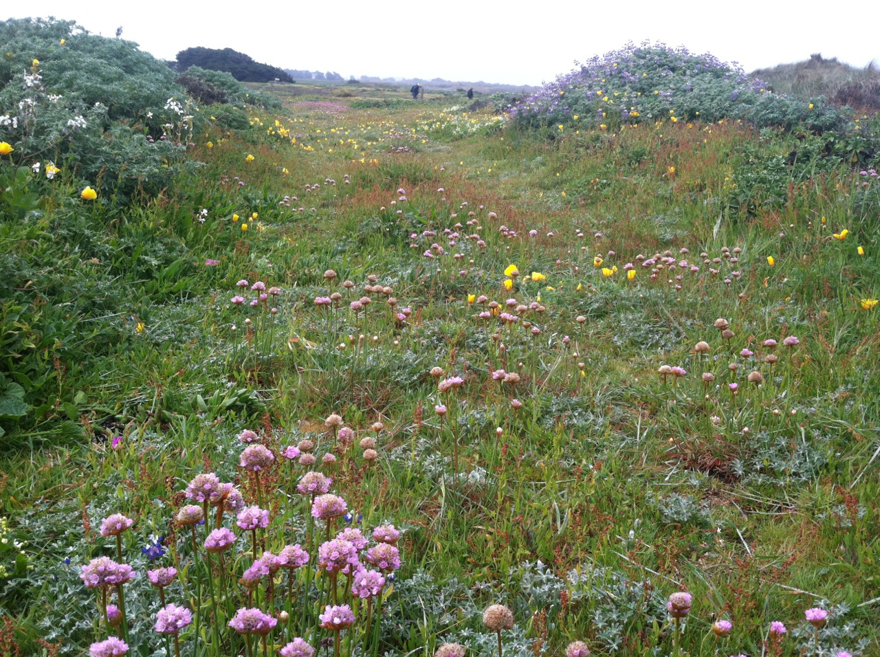
SODA SPRINGS RESERVE

All photos by Laura Bridge

Carpool at the pullout for Gualala Business Directory just north of bridge at 9:45 and/or at the Sea Ranch Annapolis Road Business Center at 10:00.  Turn right before you reach the Fire Station. We can park along the cul-de-sac by the building supply. Hang tags needed for non Sea Ranchers who park there to carpool. Park on Kelly Road 1 mile beyond entrance to Annapolis winery and hike to park. Hike on gravel road 2.3 miles to this 49 acre relatively unknown Sonoma County Park known locally as Kelly Park.  From the Parks website: "The park is a perfect place to stop among your travels. Rest or hike under the fragrant shelter of redwood groves, while enjoying the soothing sounds of running water from the adjacent Soda Springs Creek. Amenities include picnic areas, restroom, barbecues, and hiking trails."  Lunch, tour the park, and return.
Leaders: Ken & Marian Brown

Thursday, April 28, 2016

BLACKPOINT BEACH WALK & BLACKPOINT-BIHLER POINT WILDFLOWER FOOTPATHS


Carpool at the Gualala Business Directory pullout just north of bridge at 9:45, and meet at the Sea Ranch Lodge north (additional) parking lot at 10:00. Walk north from the parking lot to the fire road. Turn left, then right to marker 1. Go down the stairs and walk on the beach to the north end, returning to the stairs (Note: The stairs are steep!). From marker 1, walk south to the first gate marked with the wildflower path marker and follow the path to Black Point, the barn, and Bihler Point. Continue on the marked path toward the Lodge, past the old sheepherder's cabin, and turn left on the main trail. Follow the Bluff Trail from marker 1 to 3, turn right and continue through the hedgerow to marker 3C, then right on Moonraker to the fire road gate at Black Point Reach. At the end of the fire trail we will go to either the barn or the Lodge chair area for our lunches. Note: If it's windy, the leader may modify the plan.
Leader: Laura Bridge

Thursday, April 21, 2016

ALDER CREEK - MANCHESTER STATE BEACH

photo credit: Bob Rutemoeller

Meet at 9:05 at pullout for Gualala business directory and at Anchor Bay (west side of Hwy 1) at 9:15. The hike starts at the public access from Highway One on about mile marker 22.27 at 9:45. We will turn in at Alder Creek Beach Road, then turn directly left and park on the road that parallels Highway One. We will walk down the road where it is closed until we come to the trail that leads to the environmental campground hoping to see wildflowers and walk back via the beach if we can (returned via flower trail due to high tide).  We will have lunch afterwards at Beverley Thompson's lovely garden to view spring flowers (Rhododendrons and Azaleas to name a few.)
Leader: Mary Heibel

Thursday, April 14, 2016

FORT ROSS ROAD WILDFLOWER HIKE (new)

Photo Credit: Bob Rutemoeller
Photos by Mary Sue Ittner  (unless noted otherwise)
Carpool at the Gualala Business Directory pullout just north of bridge at 9:00, and meet at the Sea Ranch Lodge north (additional) parking lot at 9:15. Start at 10:00 at Meyers Grade Rd. and Fort Ross Rd. We will walk down to Bohan Dillon Road (about 625 ft elevation change) and continue to the Niestrath Rd. junction and perhaps beyond. Final plan for this hike and a decision on whether to shuttle or walk back up the hill and where to have lunch will be made after a current scouting trip. Mary Sue led this hike April 11, 2000 for Hikes4Health and the wildflowers along the bank on the walk down were wonderful.
Leader: Mary Sue Ittner
Mileage reported to be approx. 5 miles

Thursday, April 7, 2016

HUGAL RAVINE-LONG MEADOW LOOP (new)

Photo Credit: Mary Sue Ittner

Carpool at 9:45 at pullout for Gualala business directory north of bridge or meet at 10:00 at Ohlson Rec Center (just south of the white barn). Hang tags needed. Cross the highway to post 254A and take the Hugal RavineTrail* to Seabird Road. Pick up the trails again at the end of Schooner Dr. (post 109) and follow the Sag Ponds Trail to Ridge Trail via post 104, then right at post 103 to Sorcerer Wood at post 102. Pick up the trails again at post 314. Turn left at post 240 and take Long Meadow Trail down to Highway 1. Cross Highway 1 and take the bike and foot trails to Ohlson Rec Center. NOTE: If weather or mud is a problem the leader may reroute us onto more roads and fewer trails. Lunch at Ohlson Rec Center. *Hugal Ravine is steep. Please be prepared for elevation change during this hike.
Leader: Jane Seck (substitute leaders Harmony and Laura)

Thursday, March 31, 2016

HOT SPOT TWOFISH LOOP (new)

All photos by Mary Sue Ittner

Carpool at 9:45 at pullout for Gualala business directory north of bridge and at 10:00 at end of Verdant View near Twofish Baking Company. Hang tags needed. We will walk the roads down to the Hot Spot. Weather/mud permitting we will walk the earthquake trail and Hot Spot Loop. If it is too muddy we will just stick to the road down to the Hot Spot and back up. We will emerge from the Hot Spot via Deep Woods to East Ridge then connect to the Ridge Trail at post 101 turning back at post 103 and taking Sorcerer Wood to Timber Ridge and depending on timing return to Twofish via Timber Ridge Rd or go around the Airport and return via Sea Ridge Road. Optional lunch at the end of the hike at Twofish. For those wishing to eat there be sure to order in advance by phone: 785-2443.
Leader: Theresa Yuen

Thursday, March 24, 2016

KRUSE RANCH ROAD TO PLANTATION

Photo credit: Laura Bridge
Photo credit: Steve Coffey-Smith
Photo credit: Laura Bridge
Photo credit: Steve Coffey-Smith
Carpool at 9:30 at pullout for the Gualala business directory north of bridge, or at the Sea Ranch Lodge at 9:45. Shortly after entering Salt Point State Park, drivers from the north should prepare to turn left on Kruse Ranch Road and drive to the official parking area for Kruse Reserve. There are no fees or passes required and primitive toilets are available. Hike will begin from the Kruse parking area at 10:00. We will hike up the gravel road all the way to Plantation. The ascent is gradual, but the gravel large and often sharp, so sturdy shoes are recommended. In the late nineteenth century, Plantation was an important destination for travelers from San Francisco on their way to Gualala. It had the only hotel available. The views are spectacular. We will walk along several gushing creeks, and have views into deep forested canyons. This hike is a bit longer than our regular hikes, about five miles, but the rewards are great. Lunch at the end in the area adjoining the parking.
Leader: Marian and Ken Brown