Thursday, June 2, 2016
BOBCAT TO TSR LODGE
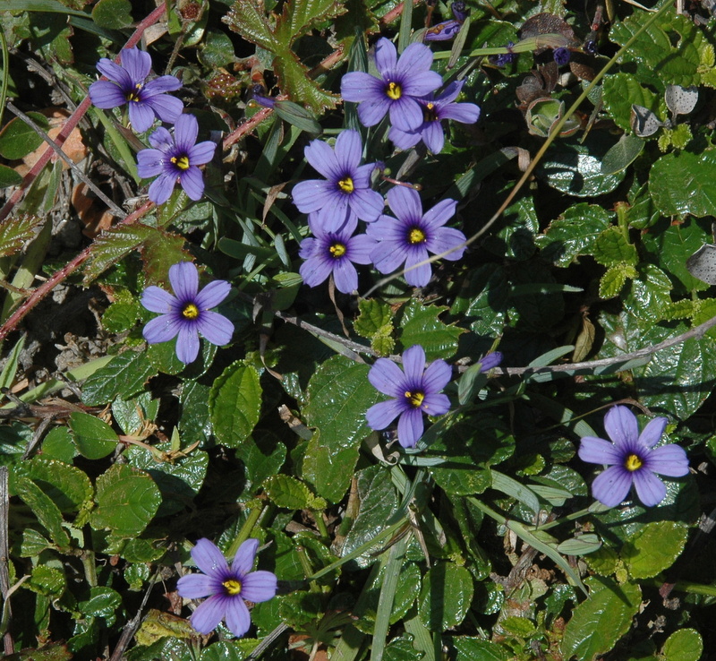
Meet at 9:30 at the Gualala business directory to carpool and at 9:45 at the Sea Ranch Lodge to carpool. There isn't a lot of space to park at our starting point so carpooling is needed. Start at 10:00 at the trail head on Indian Close off Timber Ridge Road. Hang tags needed to park here. This is a beautiful hike down a forested, shady hillside. There are some steep stretches, so bring your walking stick The trail leads down and north, crosses Crows Nest Drive, and eventually turns down and south on the hillside along Hwy 1, ending on Moonraker Road. Cross the highway and walk to The Moonraker Recreation Center and down Brigantine's Reach to the Blufftop Trail. If time permits do the footpaths of Black and Bihler Points on the way back to the Lodge to check for late blooming wildflowers and then head for Black Point Beach or the lounge chairs in front of the lodge for lunch.
Leader: Laura Bridge
Mileage: 3.4 +/-
Thursday, May 26, 2016
STORNETTA LANDS OCEAN VIEWS NORTH
| photo credit: Bob Rutemoeller |
| photo credit: Bob Rutemoeller |
| photo credit: Bob Rutemoeller |
| photo credit: Bob Rutemoeller |
| photo credit: Bob Rutemoeller |
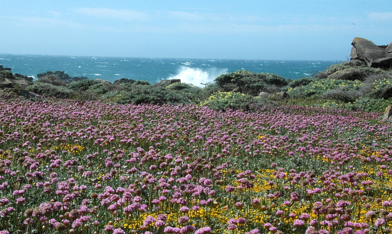
Meet at 10:00 at pullout for Gualala business directory and meet at 10:10 at Anchor Bay (west side of Hwy 1) to carpool. Park in front of the Lighthouse north of Point Arena. The walk begins at 10:30 by following the bluffs to the north/east and following the Garcia River upstream (via the bluffs). The views and wildflowers could be lovely. This hike can be also windy or foggy and the ground may be uneven due to cow walking/grazing so sticks are recommended. The exact route, lunch spot and return will be determined on the day of the hike and may be a bit different from this description.
Leader: Mary Heibel
Mileage: 3.6
Labels:
bluffs,
flowers,
Garcia River,
Lighthouse,
Stornetta
Thursday, May 19, 2016
SALT POINT LOOP
![]() |
| Photo Credit: Mary Sue Ittner |
![]() |
| Photo Credit: Mary Sue Ittner |
![]() |
| Photo Credit: Mary Sue Ittner |
![]() |
| Photo Credit: Mary Sue Ittner |
![]() |
| Photo Credit: Mary Sue Ittner |
| Photo Credit: Bob Rutemoeller |
| Photo Credit: Bob Rutemoeller |
| Photo Credit: Bob Rutemoeller |
| Photo Credit: Bob Rutemoeller |
| Photo Credit: Bob Rutemoeller |
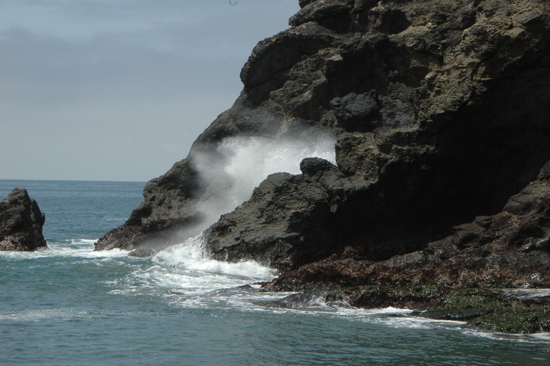
Carpool at 9:30 at pullout for Gualala business directory north of bridge, and at The Sea Ranch Lodge at 9:45. Park at the call box parking area one-half mile south of Stump Beach on the east side of HWY 1 (south of MM 41.00). Take trail on east side of the highway. We will do a forest loop and then cross the highway and walk through the campground to the headlands. Hike north on the bluff all the way admiring the flower display and then continue on the trail in the direction of the highway. Have lunch seated on some wonderful rock ledges, watch the crashing surf and see the salt pockets after which Salt Point was named at Glen's Spot. After lunch continue on the trail and carefully walk back to the cars. Dogs are not allowed on the Salt Point trails. Walking sticks are a good idea. This is potentially a bit longer hike, but it has both forest and bluff, some of the best wildflower viewing in the area and a wonderful lunch spot. If its windy we may do the hike in reverse direction and lunch in the forest.
Leaders: Mary Sue Ittner and Bob Rutemoeller
Thursday, May 12, 2016
MOAT CREEK #3
| All photos above by Bob Rutemoeller |
| Photo Credit: Steve Coffey-Smith |
| Photo Credit: Steve Coffey-Smith |
Meet at 9:30 at pullout for Gualala business directory and at Carpool at Anchor Bay at 9:40 south side of town on west side of highway. Start at Moat Creek at MM 12.77 on way to Pt. Arena at 9:50. Carpooling is important as there may be abalone divers parked at the Moat Creek parking lot. Hike bluff south to Bowling Ball Beach admiring all you can see on a minus tide and then return via beach and bluff. Mostly level, but two short steep stretches (up one way and down another.) The beach can be rocky and a bit challenging to walk on in a few stretches so hiking sticks are helpful. There are often nice wildflowers this time of the year along the bluff and Bowling Ball Beach at a low tide is a sight to behold. Afterwards we'll drive to Hearn Gulch for lunch. This could be a good year for wildflowers there. The route down to the beach is a little tricky with a rope to hold onto.
Leaders: Mary Sue Ittner and Bob Rutemoeller
Labels:
Bowling Ball Beach,
flowers,
Hearn Gulch,
Moat Creek,
Point Arena
Thursday, May 5, 2016
SODA SPRINGS RESERVE
| All photos by Laura Bridge |
Carpool at the pullout for Gualala Business Directory just north of bridge at 9:45 and/or at the Sea Ranch Annapolis Road Business Center at 10:00. Turn right before you reach the Fire Station. We can park along the cul-de-sac by the building supply. Hang tags needed for non Sea Ranchers who park there to carpool. Park on Kelly Road 1 mile beyond entrance to Annapolis winery and hike to park. Hike on gravel road 2.3 miles to this 49 acre relatively unknown Sonoma County Park known locally as Kelly Park. From the Parks website: "The park is a perfect place to stop among your travels. Rest or hike under the fragrant shelter of redwood groves, while enjoying the soothing sounds of running water from the adjacent Soda Springs Creek. Amenities include picnic areas, restroom, barbecues, and hiking trails." Lunch, tour the park, and return.
Leaders: Ken & Marian Brown
Subscribe to:
Posts (Atom)